.png)
Scientists
Biodiversity
Earth observation
AI and data science
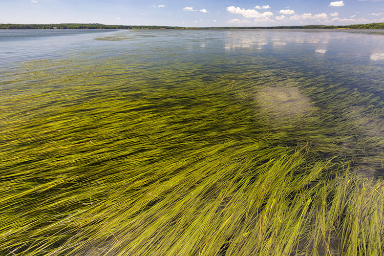
Seagrass
Leveraging AI and remote sensing science to develop a scalable seagrass mapping methodology, fine-tuning remote sensing AI models for 4 pilot geographies, and creating maps of seagrass extent, change, threats, and carbon stocks.
AI and data science
Earth observation
Food
Scientists
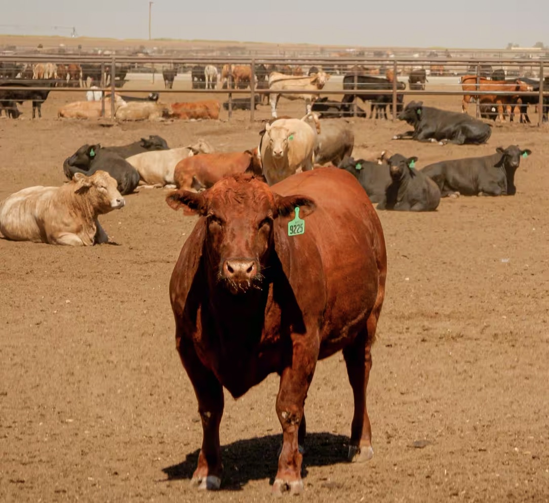
TRACE Cattle Operations
With Climate TRACE, identified nearly 400K large-scale livestock facilities that have significant environmental impacts, including contributing to ~10% of global greenhouse gas emissions.
AI and data science
Journalists
Earth observation
Biodiversity
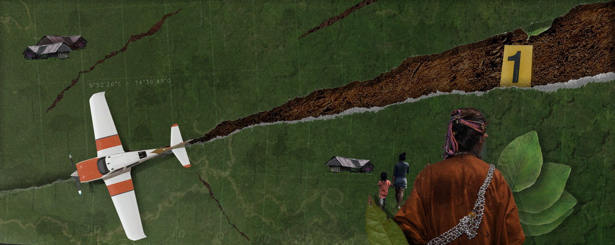
Mongabay Amazon Airstrips
Environmental journalists Mongabay and Earth Genome detected 67 clandestine airstrips used for transporting drugs in the Peruvian Amazon, threatening Indigenous communities and the rainforest.

Earth observation
AI and data science
Scientists
Food
Dengue risk in Costa Rica
With Stanford University researchers, we developed high-resolution, up-to-date land-use maps capable of capturing the fine-scale habitat variation most relevant to disease transmission.

Biodiversity
AI and data science
Data infrastructure
Earth observation
Policy makers
Amazon Mining Watch
Amazon Mining Watch uses machine learning to map the scars of mining activities in the Amazonian countries.

AI and data science
Data infrastructure
Scientists
Product design
Earth observation
Earth Index
Earth Index, a search tool for the environment, harnesses satellite imagery and machine learning to extract an area's "genetic signature." Obtain insights in a day, instead of months.

Pollution
AI and data science
Earth observation
Product design
Policy makers
Global Plastics Watch
Using AI and Machine Learning to identify plastic waste before they enter our oceans.

AI and data science
Earth observation
Journalists
earthrise education
Our platform uses collaborative mapping and satellite imagery to support real-world investigations for students.