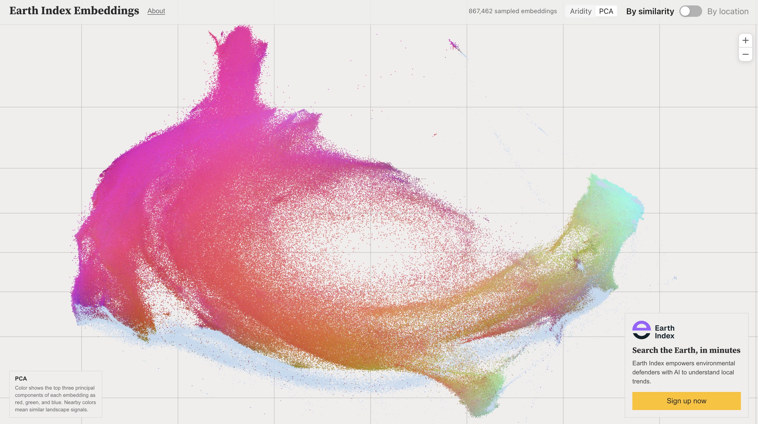
This summer I’ve worked with Earth Genome to investigate critical environmental issues using Earth Index. I’ve used it for mapping illicit supply chains, commodities that drive deforestation, illegal mining activity, and, most recently, salmon aquaculture in Chile.
Chile is the second-largest producer of salmon globally, with exports totaling 6.55 billion USD in 2025, according to SalmonChile. However, the growing industry poses serious environmental risks. Salmon production is concentrated in Chilean Patagonia’s fragile fjords and channels. The narrow waterways often have limited water circulation, leading to rapid buildup of fish waste that depletes oxygen and triggers harmful algal blooms. To protect these sensitive environments, Chile’s Superintendency of the Environment (SMA) has strengthened its compliance strategy for 2026-2028 to include monitoring to ensure that salmon cages remain within their permitted area. I wanted to know if Earth Index could provide independent validation of whether salmon farms are operating within their permitted concessions.
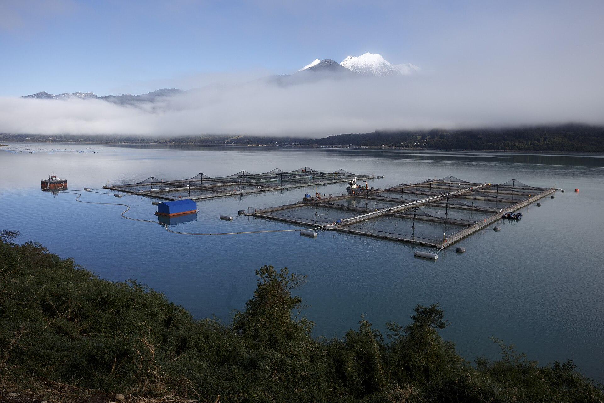
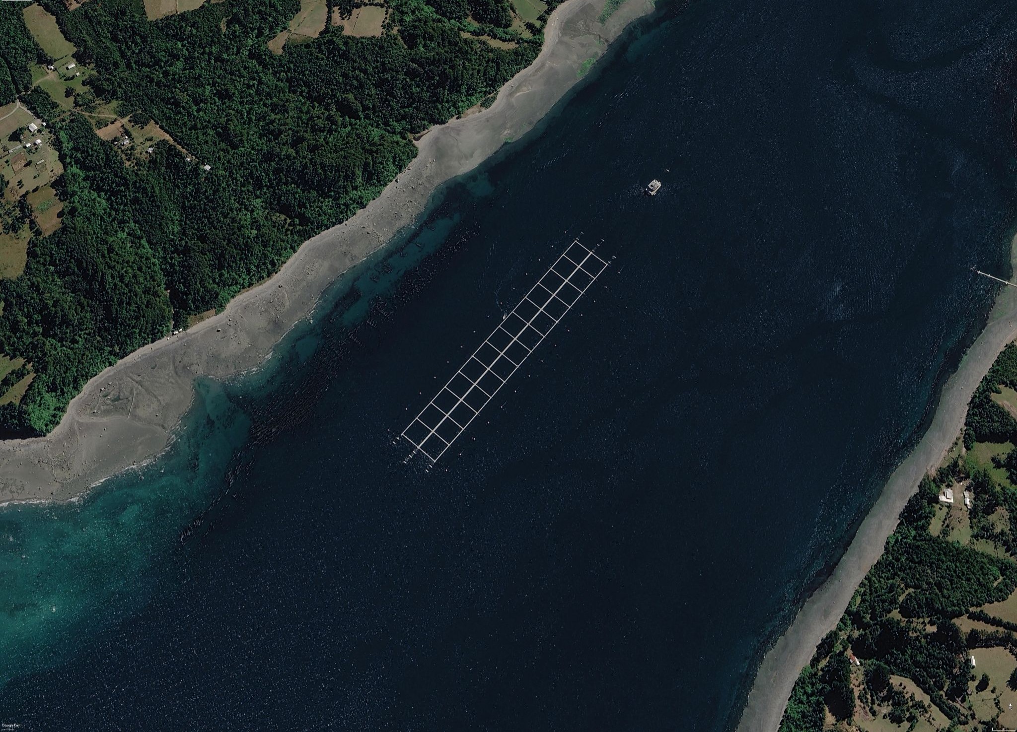
Validating salmon pens in Los Lagos, Chile
I focused my search on Los Lagos in 2025, as the region saw the most growth within Chile in the previous year. Chile's Undersecretariat for Fisheries and Aquaculture (SUBPESCA) provides a publicly accessible, geolocated registry of all granted salmon concessions. First, I manually inspected the concessions, categorizing them as active or inactive based on the visibility of salmon pens. I created a training dataset by adding positives to a subset of active concessions. Then, I ran Deep Search and compared the predictions against SUBPESCA's concession polygons. After several iterations, Deep Search successfully identified 198 out of 241 active concessions, an approximate recall rate of 82%. Cloud artifacts are a limitation, and with monitoring over time, we’d expect variation in cloud cover to enable clear look at that the entire area.
Browse the results here.
Why this matters beyond Chile
Aquaculture is currently the fastest-growing food production sector in the world, one that is already outpacing on-the-ground enforcement. Earth Index offers an independent satellite monitoring solution for global aquaculture, empowering regulators, researchers, and non-profits to ensure compliance and sustainable practices.
We'd love to see people explore mapping aquaculture in different regions. Try Earth Index yourself on https://earthindex.ai/ and let us know what you find or if you need a little help.
Other articles

.png)
Two Foundation Models Are Better Than One
A Second-Stage Classifier on AlphaEarth Embeddings, and the Case for Domain-Specific FMs
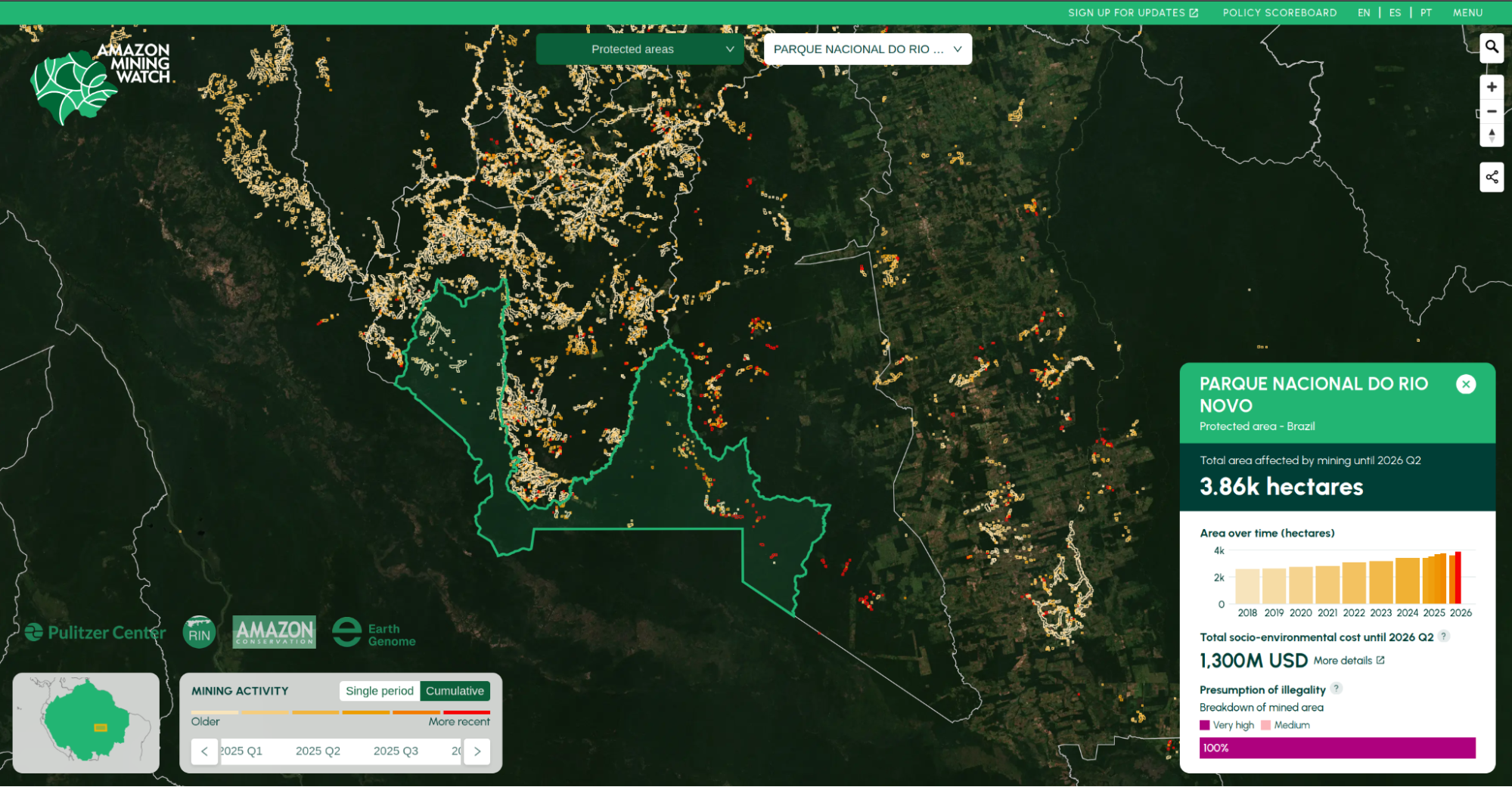
Amazon Mining Watch: August 2026 Update
We are releasing new machine learning models and a new data series, in a full data replacement update for Amazon Mining Watch, through the second quarter of 2026.