
You can now create reference layers in Earth Index by describing what you want to find in plain language.
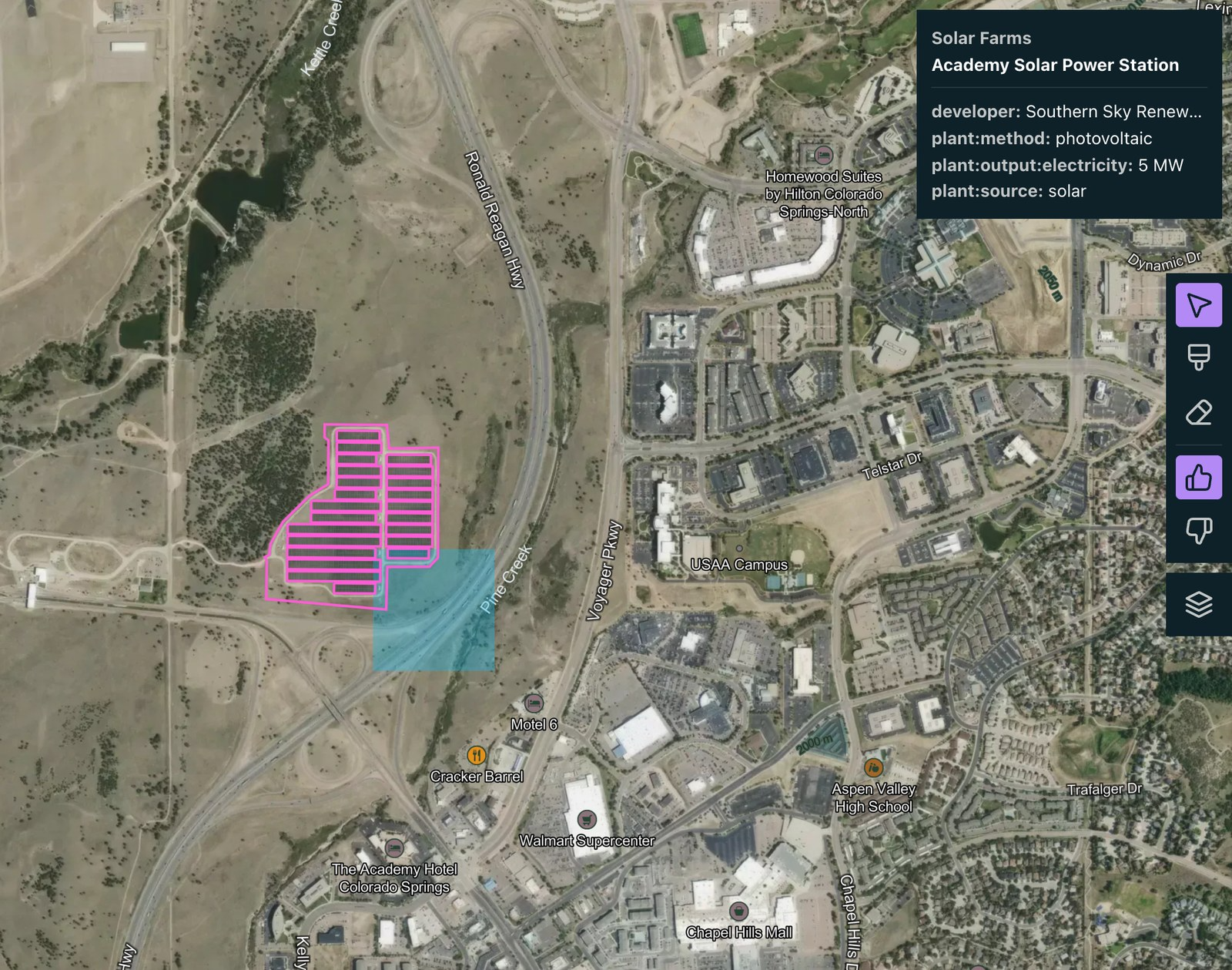
We recently launched Search for Stuff, a new way to hit the ground running in Earth Index. Describe what you’re looking for in plain language (solar farms, quarries, water treatment plants) and Earth Index builds a reference layer of known locations across your area of interest.
Every search in Earth Index starts with examples. Quick Search and Deep Search learn from the places you label, so the first step in any project is finding a few positive examples. That used to mean scanning imagery by hand or uploading your own GeoJSON file. Search for Stuff gives you a head start from open data.
How to use it
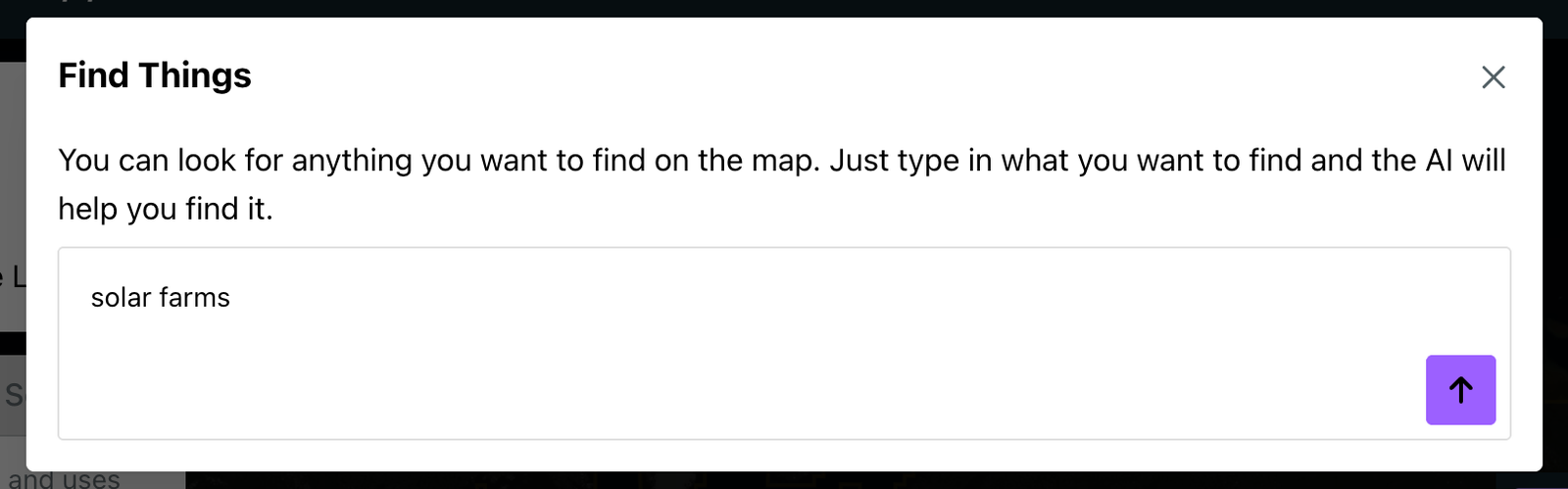
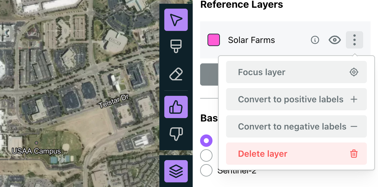
Inside your project, click the layers button to open the Map Layers controls, then choose New Reference Layer and click Search for Stuff. Describe what you’re looking for, just like you might type it into Google, and hit enter.
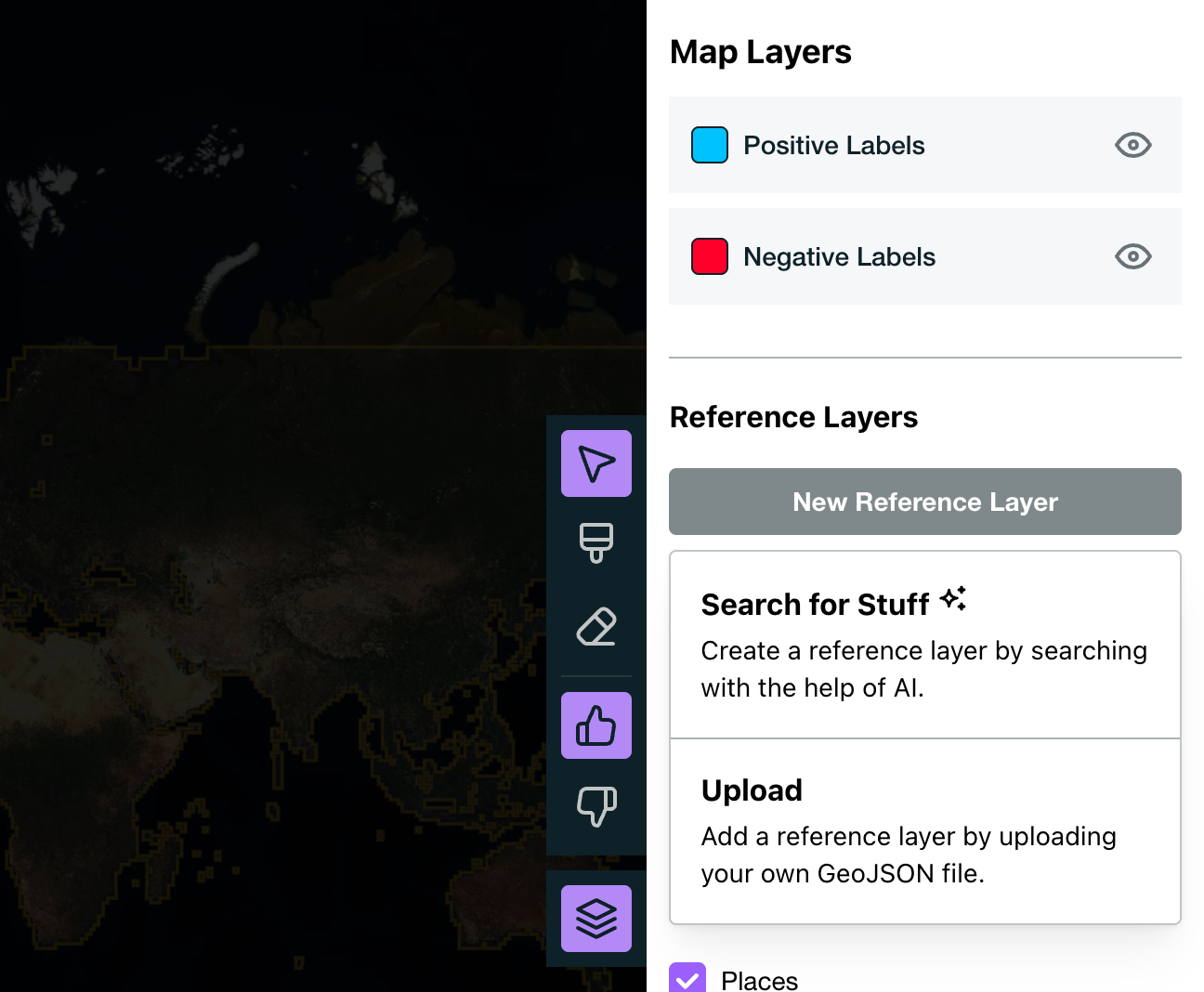
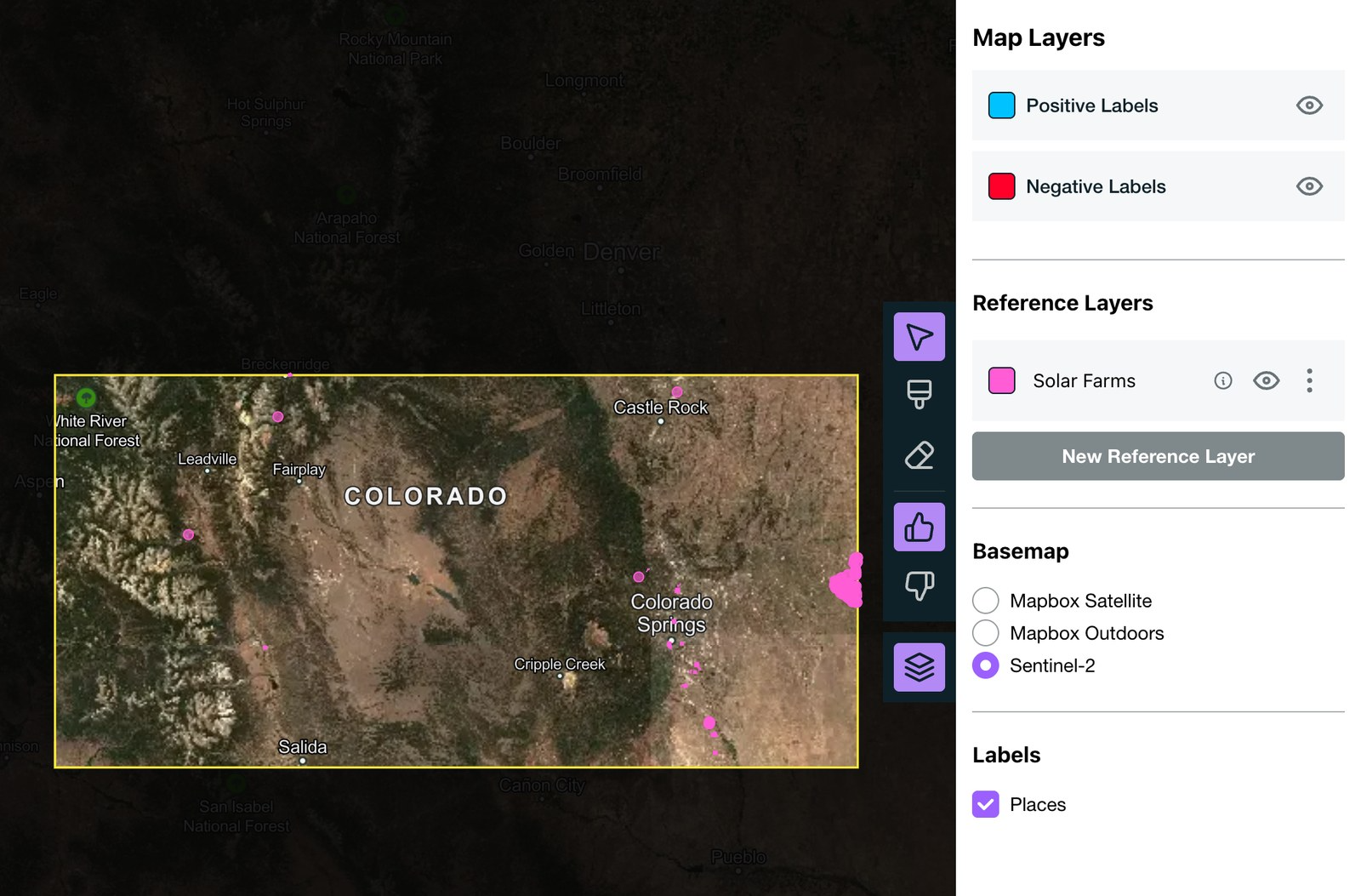
A new layer appears in your list of reference layers while Earth Index works, and it shows up on the map as soon as it’s ready. The speed will depend a bit on the size of your project area and the number of things the search finds, but building a reference layer usually takes around ten to fifteen seconds.
From known sites to new ones
Once you have a reference layer, you can see where things are on the map, but you also have a set of examples. From the layer’s menu, you can convert the layer’s features to positive or negative labels in one click, then run Quick Search or Deep Search to find similar sites that aren’t on any map yet. It’s the same approach we used to find 22 possible new palm oil mills, starting from an existing dataset. Now you can start that way for almost anything.
How it works
Under the hood, Search for Stuff uses a large language model to translate your request into the vocabulary of OpenStreetMap: the tags volunteer mappers apply to features all over the world to describe what they are. The model considers synonyms and regional terms, and it can search the web when a concept is unfamiliar. Because language models sometimes make things up, every tag is checked against Taginfo, the public record of how OpenStreetMap tags are actually used, and rare or invented tags are dropped. We then look for matching features inside your project area and turn the results into map tiles.
We built Search for Stuff as part of our work exploring ways to leverage generative AI in Earth Index supported by Google.org through their accelerator which started last year.
Because it relies on open data to find things, Search for Stuff is only as complete as OpenStreetMap. Coverage varies from place to place, and because of the way things are tagged, a search might end up picking up some things you didn’t intend. Spot-check a layer before turning it into labels. And when you hit the edge of what OpenStreetMap can find, that’s exactly where Quick Search and Deep Search come in.
Try it
Search for Stuff is one more step toward getting powerful tools into the hands of those closest to environmental challenges. It’s available now on app.earthindex.ai. Open a project and ask for what you want to find. Let us know where it takes you!
Other articles
.png)
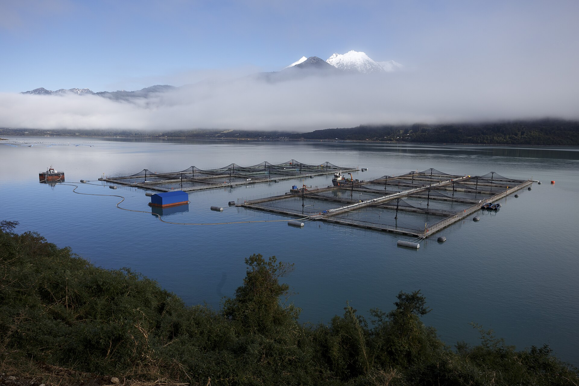
Using Earth Index as an independent validation tool for aquaculture regulations in Chile
Earth Index offers an independent satellite monitoring solution for global aquaculture, empowering regulators, researchers, and non-profits to ensure compliance and sustainable practices.


Two Foundation Models Are Better Than One
A Second-Stage Classifier on AlphaEarth Embeddings, and the Case for Domain-Specific FMs
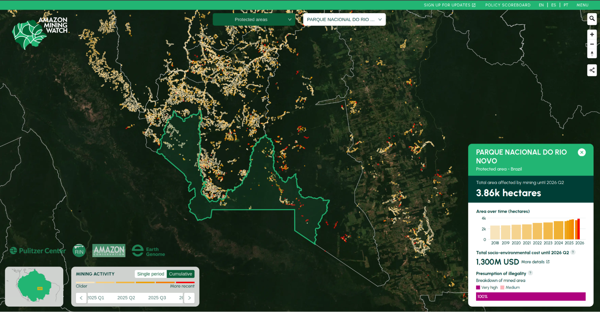
Amazon Mining Watch: August 2026 Update
We are releasing new machine learning models and a new data series, in a full data replacement update for Amazon Mining Watch, through the second quarter of 2026.
