
I’m excited to share RechargeIQ, a new tool promoting the practice of managed aquifer recharge across the U.S.
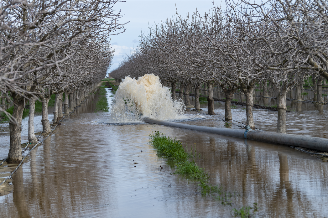
Water systems everywhere are in crisis. More intense storms are causing record floods, while longer dry spells are depleting groundwater reserves that communities depend on. Managed aquifer recharge using floodwater (Flood-MAR) offers a simple but compelling solution: capture excess floodwater when it’s abundant and store it underground for use when it’s scarce. This reduces flood risk and increases water supply reliability, all while restoring aquifer levels and benefiting ecosystems.
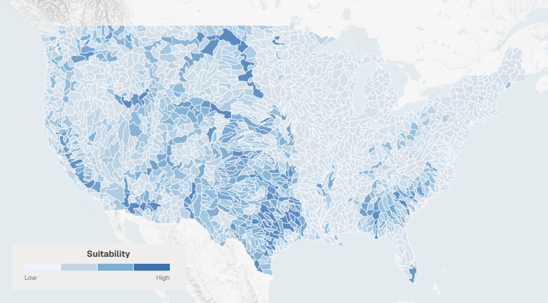
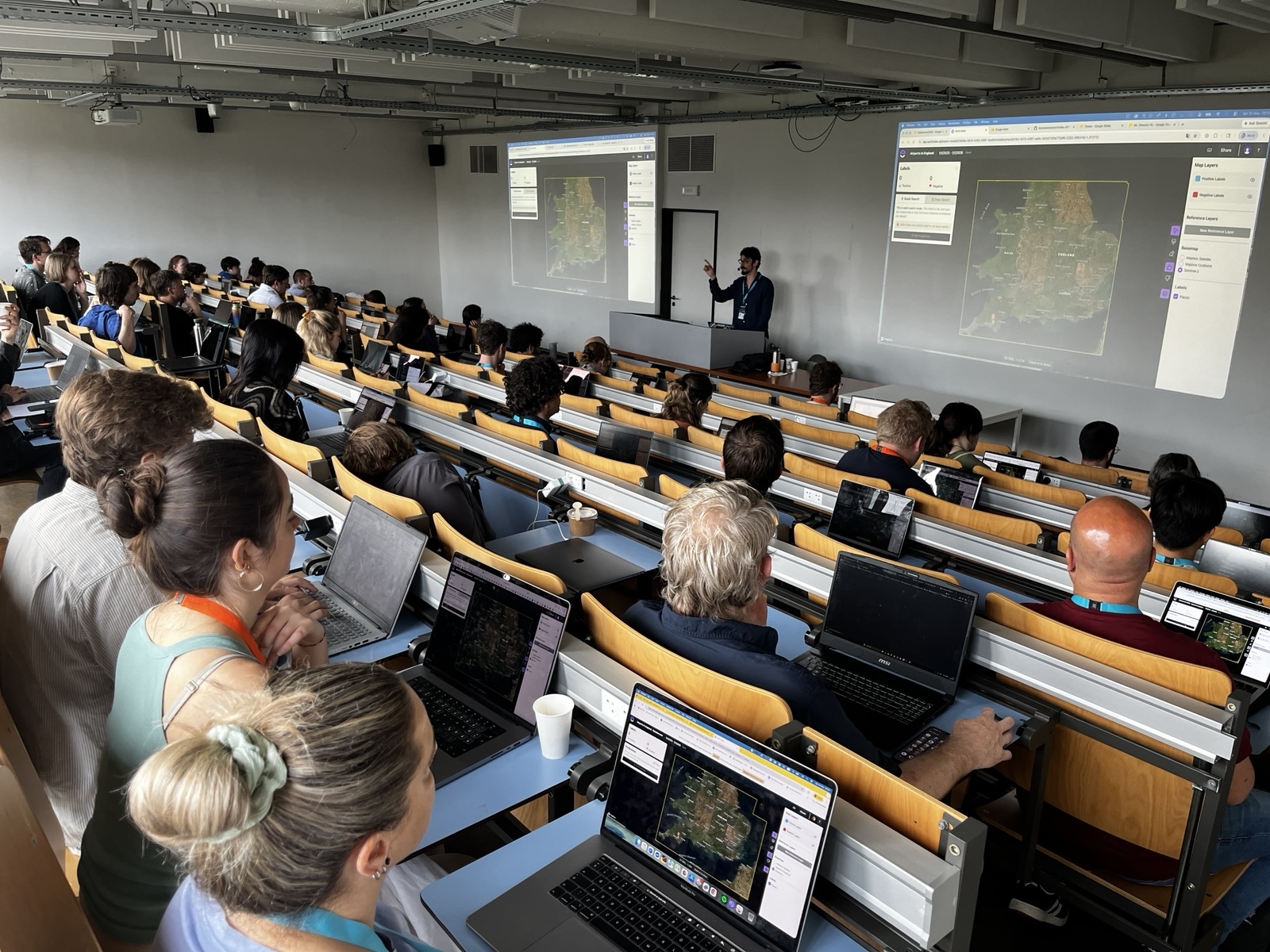
For ten years, Earth Genome has been working to promote Flood-MAR in California. This includes working with networks like the Flood-MAR Hub, supporting the state government in its Flood-MAR studies, and of course developing the Groundwater Recharge Assessment Tool (GRAT) with our partners at Sustainable Conservation. Now, we are expanding this work to the rest of the continental United States with the launch of RechargeIQ, a screening tool designed to accelerate the adoption of Flood-MAR by locating the most suitable locations for it in any area of interest. Suitability is determined using factors like hydraulic conductivity of the land, surface water availability, and aquifer drawdown, which were determined by hydrologists at Arizona State University.
The tool also highlights potential roadblocks like karst geology, water quality concerns, and protected ecosystems. Although potentially problematic, these don’t necessarily make Flood-MAR impossible. By identifying them early, it is possible to incorporate the issue and the people affected into the planning process and design the project in such a way that these risks become benefits. For example, if the land is protected on behalf of an endangered species, perhaps Flood-MAR can be used to establish more of the habitat that species requires.
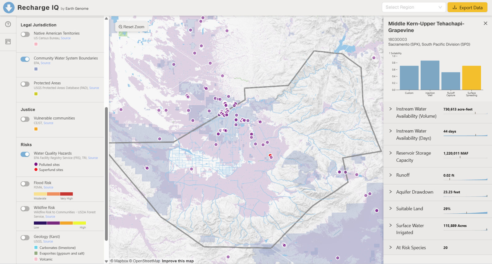
RechargeIQ was built for the U.S. Army Corps of Engineers to help them prioritize the best opportunities across their massive infrastructure portfolio to engage in Flood-MAR. But it is not only for them. This application is being made available for free online to help all engineers, planners, and communities quickly assess the suitability of landscapes for Flood-MAR. By integrating geospatial data on hydrology, soils, demographics, and infrastructure, the tool provides a first-pass screening of recharge suitability across large areas. Users can explore where conditions are most favorable, helping prioritize sites for further study, investment, and implementation.
Flood-MAR projects require complex coordination between water resource managers, owners of the recharge suitable land, and nearby communities who benefit from the project, but also share the risks. Our hope is that RechargeIQ can help all involved parties navigate these complexities and develop better plans more quickly and easily.
Other articles

.png)
Engineering updates on sustainable AI at Earth Genome
Behind the scenes sustainability improvements on patch grid generation, STAC metadata, energy transparency, and DB optimization.


Launching Earth Index Deep Search for comprehensive planetary data
You can now train lightweight classifier models directly on the web
.png)