Going into the International Conservation Technology Conference, I’m thinking about linking gold standard in situ observations with the scalability of AI foundation models operating on global remote sensing datasets, the practice of applying AI agents to conservation needs, and the opportunity for open mapping in conservation. This quick thought is about the last one, OpenStreetMap and nature needs, with some examples of how it has been applied by Humanitarian OpenStreetMap Team in sustainable livelihoods and natural resource management, and Earth Genome’s use and development of Earth Index.
Socio-technical is just a complicated way to say that OpenStreetMap is not just a set of technologies, but a culture and practice of how that technology is used. OpenStreetMap has proven to be essential infrastructure for not only how maps are made, but how the world works, as wonderfully profiled in the Financial Times magazine issue on new maps. The key technical/cultural pieces for that success, as I see it are:
- accessible to anyone with practically no barriers to entry
- individual humans looking at everything (even if a robot or process was involved at some point)
- the ability to map any type of thing with ongoing physical presence (and some abstract presences too, like boundaries) with a flexible approach not dependent on a preset schema
- and especially the combination that places local communities closest to the shape and needs of the world in primary place of creating the map
- finally a single global database that brings all these mappers and map data together
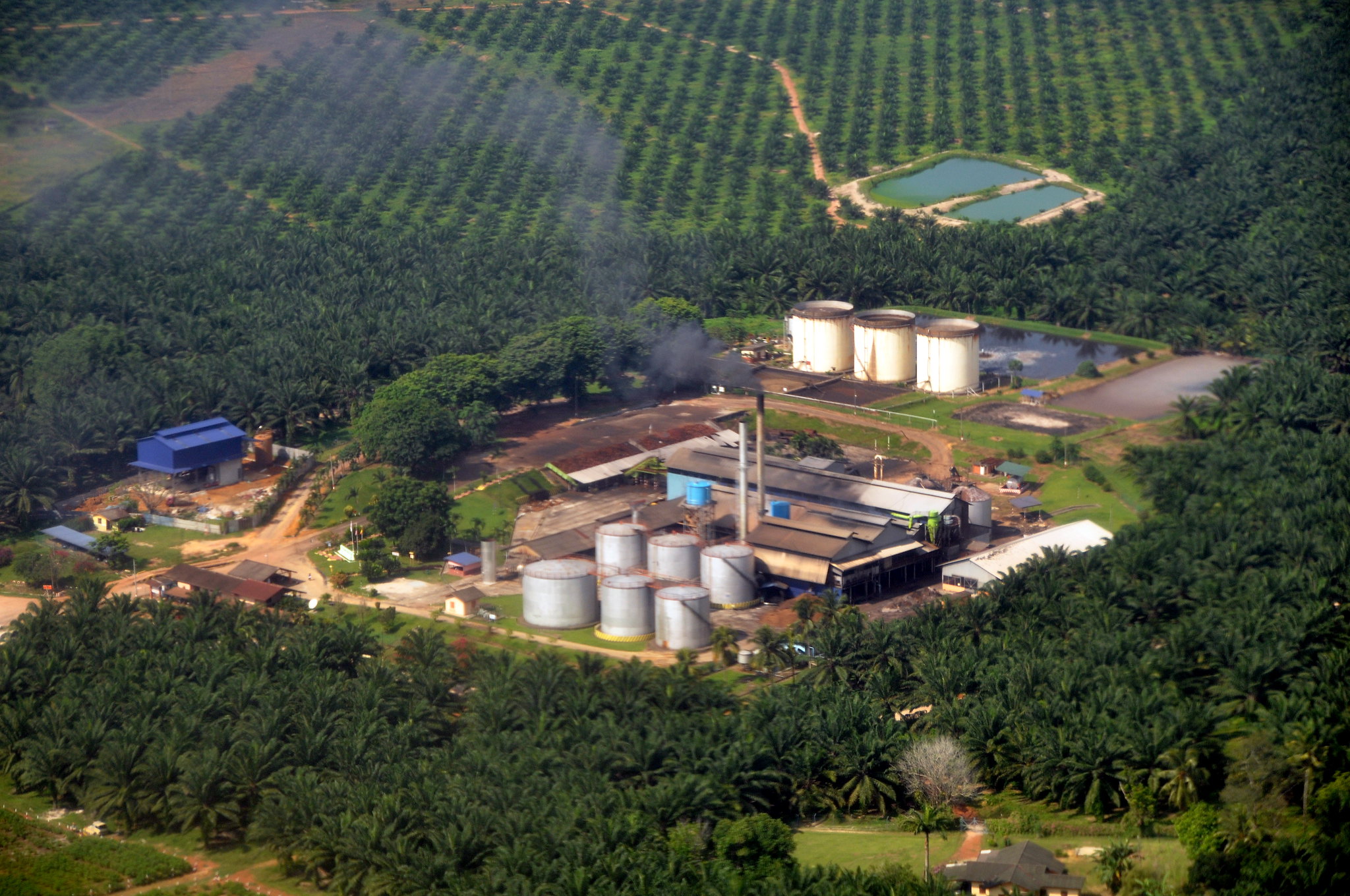
Particularly for conservation, OpenStreetMap excels at filling in the context of and interface to natural areas and areas of concern, with details like the access points and physical infrastructure of conversation areas, or surrounding areas and infrastructure, and potential drivers of impact/threats/opportunities like adjacent settlements and land use patterns. No, OpenStreetMap is not the place for individual measurement like detailed biodiversity data, or fuzzier geographies like ranges, but can provide the “data skeleton” for understanding pressures and potential levers of protection. Protected area boundaries are mappable/importable in OpenStreetMap, and don’t take the place of official sources and should be used with consideration, but do have the direct application advantage of being fused together with other kinds of data in one system.
The participatory community approach of Humanitarian OpenStreetMap Team demonstrates some of the most compelling use of OpenStreetMap, and it does include conservation. Most of HOT’s work centers on disaster response and resilience to potential threats to health and livelihoods. At first pass this might seem quite distinct from nature and conservation, especially in urban areas, but the sustainable management of natural resources and protection of nature particularly in a changing climate are intricately linked. The line between human and nature is totally blurred. Human pressure is the greatest threat to nature, and human aligned solutions are a necessity.
And in fact, HOT has pursued several initiatives that directly tie to sustainable resource management, conservation, and territorial integrity. Working with communities who’s livelihoods are tied to sustainable fisheries, HOT has helped mapped in high detail coastal ecosystems like mangroves and now seagrass, for community driven conservation planning and management. This is highly complementary to Earth Genome’s Seagrass mapping work with The Nature Conservancy, which aims to leverage AI and remote sensing to feasibly scale up high quality and intensive data collection over time and locations.
HOT’s program participatory mapping for a sustainable Amazon is working across several countries to train Indigenous and rural communities on drone mapping, mapping with WhatsApp (ChatMap), and editing OSM for monitoring and defending their territories. HOT has also introduced other public good technologies like MapSwipe to collectively classify natural intactness and ODK for data management of field collection of environmental issues like dumping. I especially love this quote, as I’ve seen how transformative it is for a community to build a map themselves and understand that comprehensive view.
We showed them our work, shared aerial images and videos of the territory, and talked about the importance of protecting a space that means so much to everyone. It was an intimate, reflective, and powerful moment. Some people, seeing their land from the sky for the first time, were deeply moved.
What’s critical in all these cases is getting the tools directly in the hands of people in these places. This in itself is empowering, and can result in the highest quality, “renewable” information, that’s collected fit for purpose of a sustainable community. Remember that blurred line between nature and human? With OpenStreetMap, the data collected there is immediately reusable for a host of needs.
Building Earth Index, we adopt both the approach and some of the data too. We aim to put tools directly in hands of those closest to the need, and leverage a greater open global public resource. Most directly, OpenStreetMap has proven key to what we call the “cold start” problem in Earth Index. When conducting a search, sometimes you might know of a few locations to start with, but not always.
This was the case when working with Mongabay to locate narco trafficking air strips in the Peruvian Amazon. Reporters knew these air strips were being built, but did not know where exactly, and finding them is like locating a toothpick on a football pitch. An Overpass query to see if there were any airstrips in the region in OpenStreetMap turned up a handful of examples, which were enough to give initial labels for training Earth Index. We didn’t follow up to connect with the mapper to learn how they found them, or why they mapped them, but we didn’t need to in order to benefit from this heroic anonymous mapper.
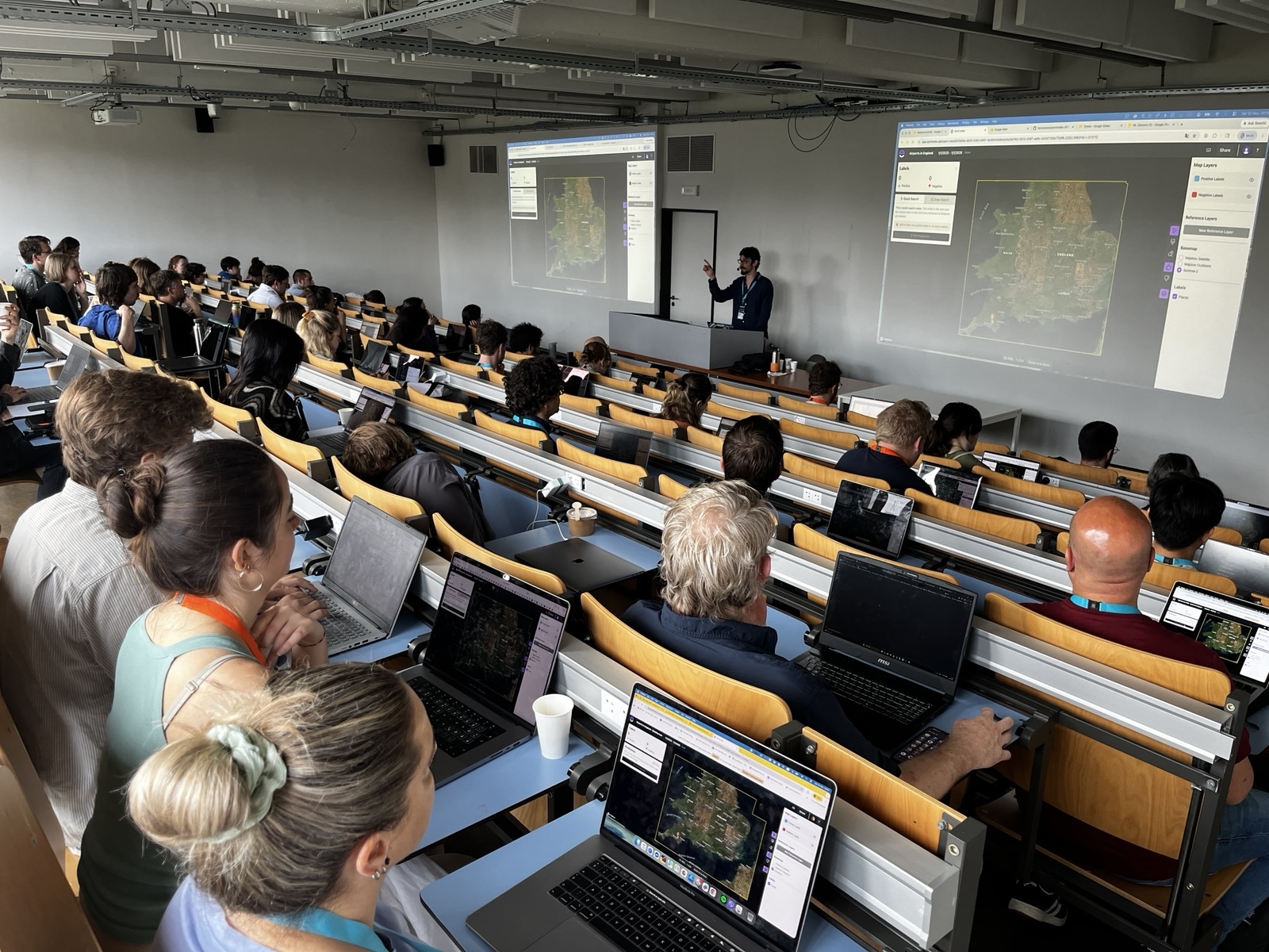
We’ve extended this to soon to be released feature of Earth Index, will integrates natural language search of OpenStreetMap to seed searches. We’ve prototyped this under the google.org GenAI accelerator, and can translate (in any language) a search target to an Overpass query, resulting in a reference layer for setting labels. Not every search in every location will turn up something in OSM, but it’s often a good start.
If you’ve read this far, this must resonate! I’d love to discuss open community technology approaches to conservation, and use of OpenStreetMap in guiding sustainable management of natural resources. Reach out online or if you’re at #ICTC2026, in person!
Other articles

.png)
Engineering updates on sustainable AI at Earth Genome
Behind the scenes sustainability improvements on patch grid generation, STAC metadata, energy transparency, and DB optimization.


Launching Earth Index Deep Search for comprehensive planetary data
You can now train lightweight classifier models directly on the web
.png)