Launching Earth Index Deep Search for comprehensive planetary data
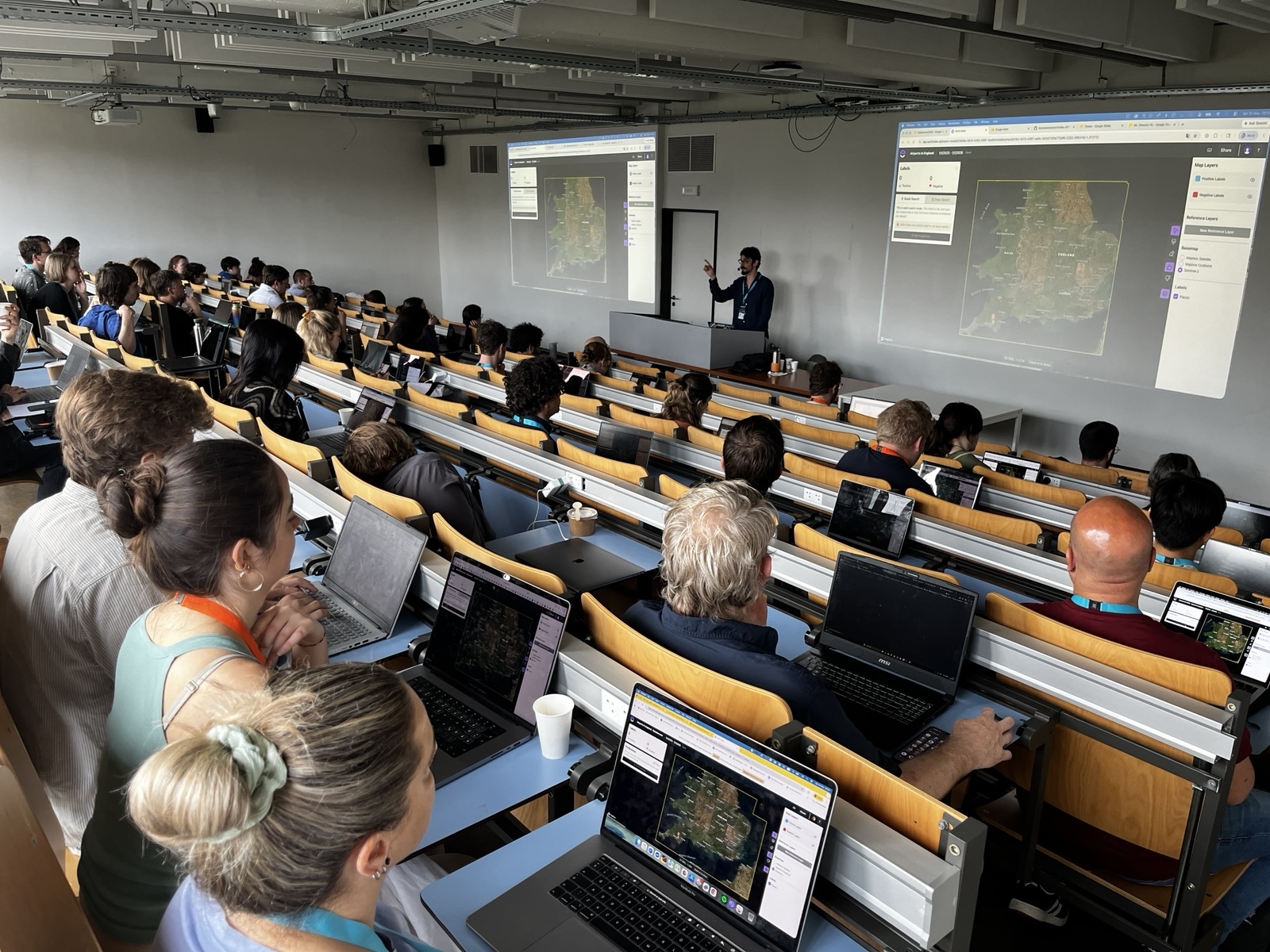
You can now train lightweight classifier models directly on the web
.png)

.png)
Growing Food in Pixels
The Plotline, Earth Genome’s food and climate project, recently published an interactive map visualizing crops that grow across the United States at 10 by 10 meter resolution.


How to build tomorrow’s AI for the Earth
Today’s AI is not sufficient for today’s environmental challenges.

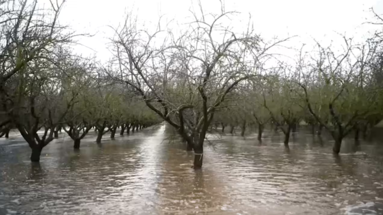
A Tool To Save California’s Farming Future
We’ve recently published a map based story on this past winter in California and a tool that’s helping farmers capitalize on the influx of water to recharge aquifers and store water for future dry seasons.
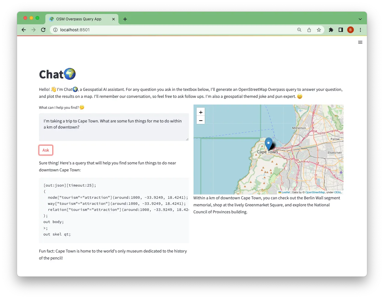
ChatGeoPT: Exploring the future of talking to our maps
In this blog post we walk through some of our initial explorations using AI interfaces to solve geospatial problems.
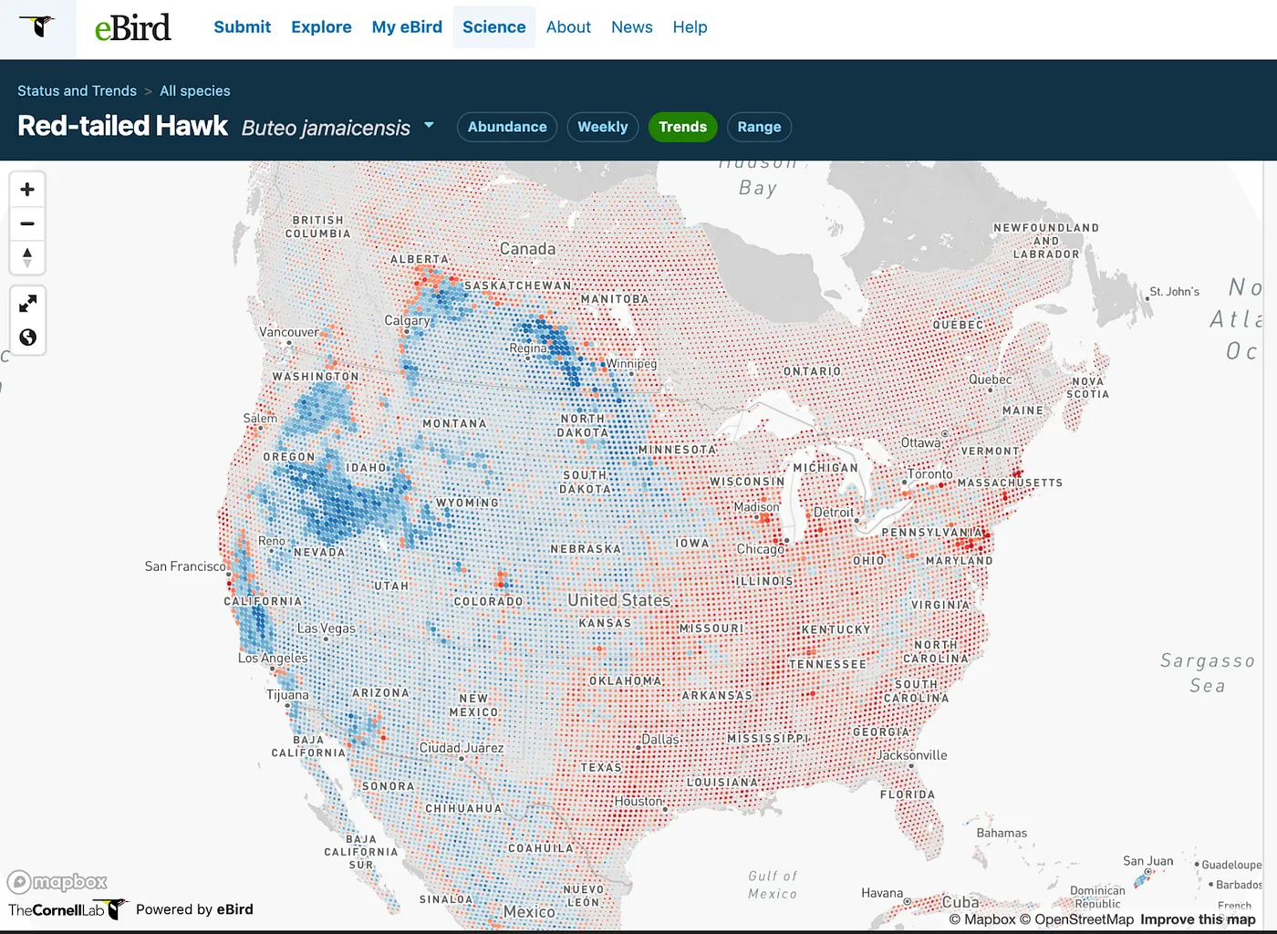
Let’s make more dot grid maps
I am excited about dot grid maps. And I’m surprised that we don’t see more of them. Dot grids are a clear, informative, multidimensional and flexible cartographic technique.
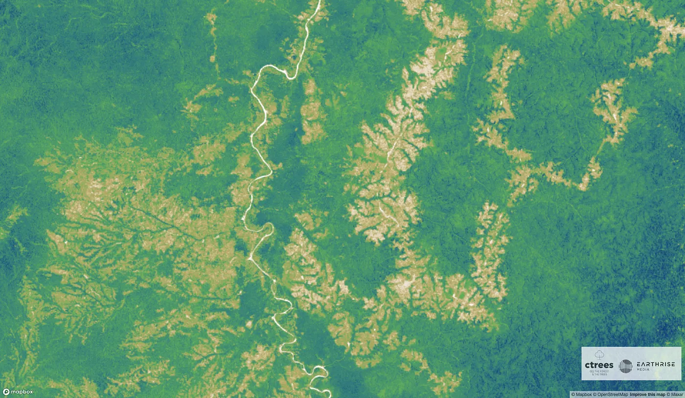
Animating the carbon stored in every tree on the planet
In the intense run up to COP27 we were asked to produce an animated video of the carbon stored in every tree on the planet for the incredible CTrees.
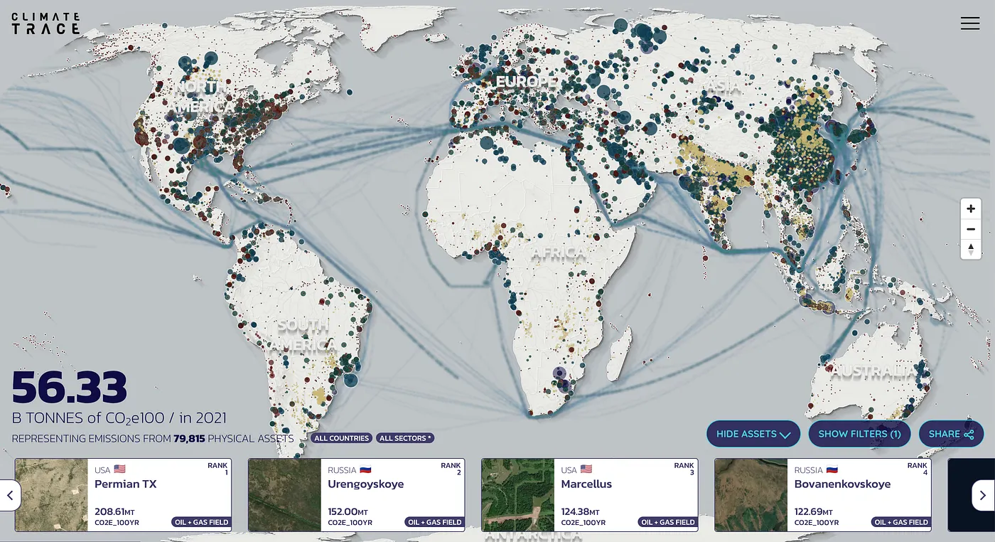
Mapping and Tracking Real-Time Atmospheric Carbon Emissions: Climate TRACE identifies the 70,000 highest emitting greenhouse gas sources
Today Climate TRACE launches the first detailed facility-level global inventory of greenhouse gas (GHG) emissions.